

The Range
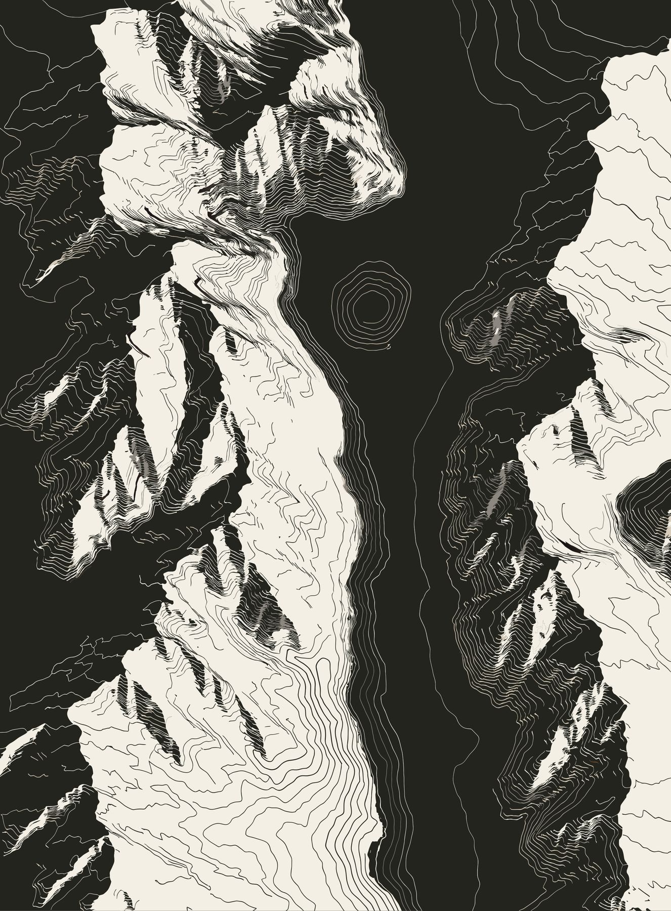
A map of the Vanoise
The Vanoise became France's first national park in 1963, in the Savoie Alps. Every formula carries the name of one of its places. The range grows like a route: a pass, then a glacier, then a refuge.
The register
6 places, 2 availableN°FormulaPlaceAltitudeFamilyStatus
01ISERANCol de l'Iseran45°25′ N 7°02′ E2,764 m9,068 ftBreathAvailable02ARPONTDôme de l'Arpont3,599 m11,808 ftFlowAvailable03LEISSERefuge de la Leisse2,487 m8,159 ftRecoveryComing soon04CHAVIÈRECol de Chavière2,796 m9,173 ftBreathComing soon05SASSIÈRELac de la Sassière2,460 m8,071 ftFlowComing soon06POLSETRefuge de Péclet-Polset2,474 m8,117 ftRecoveryComing soonAltitudes are those of the places, rounded to the meter. Names of formulas in development may change before launch.